by admin
Share

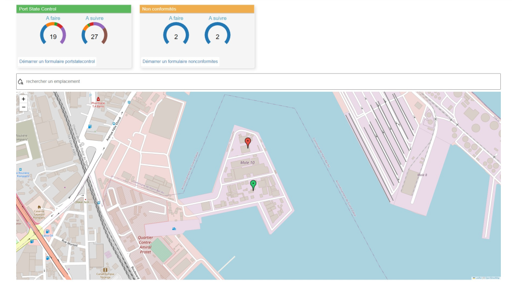
ISIMAN integrates its new Geographic Information System (GIS) functionality, integrated cartography for geodecision-making.
The movement of goods, the movement of people, globalisation… these are just some of the principles that illustrate the flow of information with which companies are confronted on the local, regional or international market.
In order to survive and succeed, a clearer display and analysis of your geodata is required.
GIS technology enables you to identify at a glance tasks to be done, trends or patterns in a specific area, based on your business data, and then make the relevant adjustments swiftly.


